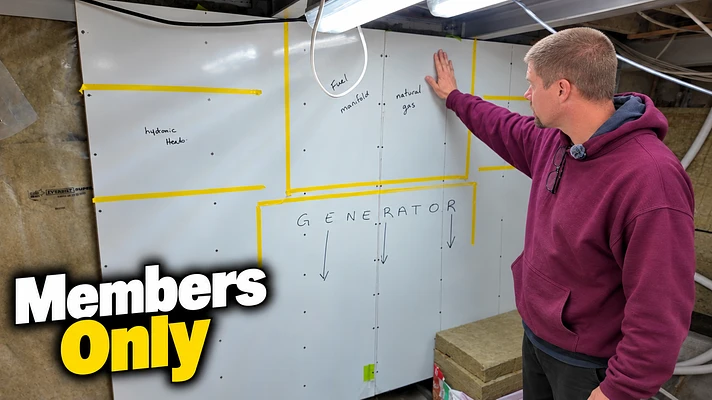
We’re going LIVE in one hour to talk all about the generators being built for Tangaroa.
If you watched the reveal and have questions, bring them.
Join us live - by clicking the WATCH ON YOUTUBE link in the above picture. (lower right corner)
#OnboardTangaroa #NeverEndingSeaTrial #OperationSilentRunning #DCGenerator #HybridElectric #HybridYacht #MarineEngineering
We’re going LIVE to answer your questions about the brand new DC Generator that is going into Inside Passage.
1700 hrs pdt - October 26, 2026
After all the changes, dead ends, and generator problems we’ve worked through, this is a pretty big moment for Operation Silent Running.
If you watched the reveal video and still have questions, this is your chance to ask them.
Join us live and bring your questions — technical or otherwise. We’ll answer as many as we can.
You can find the live on Onboard Tangaroa – The Never Ending Sea Trial on YouTube.
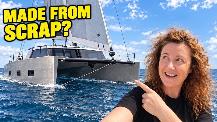

Heads up: Time Zero sponsors Onboard Tangaroa, and we're Time Zero ambassadors. We used their navigation software for five years, including a couple of runs to Alaska and back, before that ever happened.
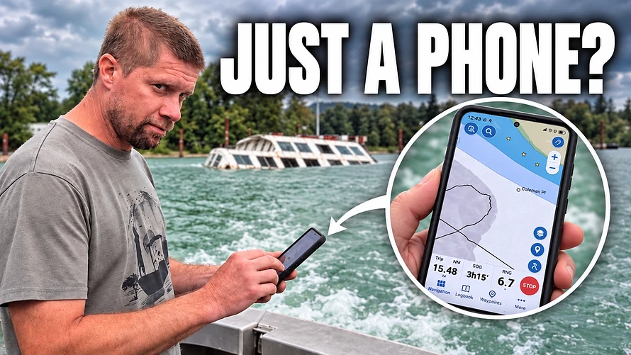
No chart plotter. No big navigation screens. Just a phone in Blaine's pocket and an app. Could it get us up the Fraser River to an abandoned BC ferry, a sunken McDonald's and home again?
After a long few months stuck in the boatyard, our friend David invited us out for a cruise on his boat. We said yes before he finished the sentence.
The catch?
His boat doesn't have the full Time Zero system we run on Tangaroa. So we brought the TZ iBoat app and gave ourselves a mission: find the ferry, see some cool stuff, and find out whether a phone can really stand in for a chart plotter.
Route Assist is brilliant, just not on the river
On Tangaroa we use Route Assist all the time. Set point A and point B, it plots a route, and on the big boat it'll steer that route through the autopilot. The app plots routes too. It just can't drive David's autopilot.
Here's the thing. Route Assist is switched off in certain areas, and rivers are a big one. Narrow waterways and lots of traffic aren't a safe place for a computer to pick your path.
Blaine's rule for any auto-routing, on any navigation software: always double-check it. It's a computer. We all know how that goes.
Yes, it knows about the sandbar
David knows this stretch of river. He warned us about a shallow bar running from the head of an island up the south side, where he regularly spots recreational boaters having what he calls "an unscheduled picnic."
So what did the app show? A big-ass sandbar. Shocking, right?
It also showed the deeper water at the head of the island that the locals use. We hugged the shore along the light blue and crossed over by the 12. The chart detail held up, even well up the river.
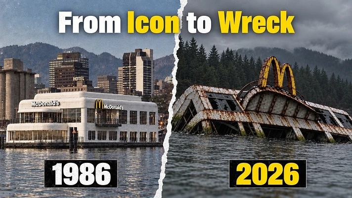
Bonus: it even has the McBarge marked on the chart. We laughed harder than we should have.
Recording your trip (in theory)
Recording a track is easy. One push to open it, one push to start. Big round buttons, which Blaine says is good news because I apparently have trouble finding buttons to push.
The trip screen shows your distance, time and speed over ground. Hold that thought. We'll come back to it.
Tides and currents in your pocket
Tides and currents live in the Layers menu. The yellow bars show the tides. That part of the Fraser has no tidal current stations, so there was nothing to show for currents right where we were.
So we tested it somewhere that matters. If you've watched us go into Princess Louisa, you know you have to time Malibu Rapids. My sister was heading up there, so Blaine pulled it up. We didn't have the detailed chart pack for that area, but the app still showed which way the current was flowing, and you can step through it day by day. That day, slack looked to be around 10 a.m.
On the passes we've run, the app and the big system matched almost to the minute. With all the tidal passes in British Columbia, that matters.
The little things we liked
· Tributaries. The app shows side channels we didn't even know existed. It's fantastic when we take Punga out exploring, because it shows where we can and can't go.
· Pins and marks. We passed a lot of sturgeon fishermen. Land a big one? Drop a pin and go straight back next time.
· Your tracks stay saved. A year from now we can look back and say, "That's where we went up the river."
· Community posts. Blaine can snap a photo of something, like the cutest little tugboat we passed, mark it on the map and add a comment. Every Time Zero user can see it. Same goes for a great anchorage.
· Buoy details. Tap the red marker and it tells you it's a starboard-hand lateral mark, conical and red, and what you're supposed to do with it. You can even leave a comment if one goes missing.
· Radar. Fun fact: if you have a certain wireless Furuno radar, the app connects to it and shows the radar on your phone.
Did it find the ferry?
It took us right to her.
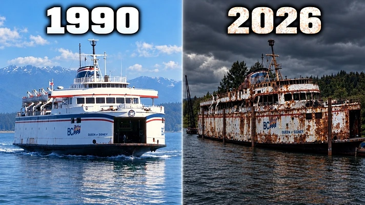
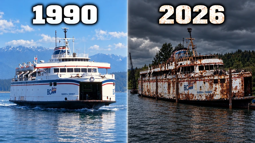
The Queen of Sidney, a former BC ferry and one of the Fraser's most infamous abandoned ships. About an hour and 26 minutes into the trip, doing 7.3 knots over ground, there she was.
She's in rough shape. Broken windows. The crane brought in to strip her looks just as rough, and there's even a sunken boat nearby.
This ferry has caused a bit of a ruckus here in British Columbia, and we can't wait to tell you the story. For the full walk-around and the history, head over to our other channel, Onboard Tangaroa Exploring the World.
A breakwall made of cars
On the way back, we went looking for something we'd heard about. One of the riverside towns built a breakwall out of cars.
At high water they're hard to spot, but once you see one, you see them everywhere. Tucked under the bushes. A cab sticking up here, another there. Rounded roofs from the '60s and '70s. Collector items, just waiting to be loved again.
David's take: they were moved there to stabilize the bank "back when such things were appropriate," and they've been there as long as he's been around. Low tide shows a lot more. If you're walking that beach, watch your step. There are bits of car in the sand.
One heck of a way to stop erosion. Do you know the history? Who thought of it, and when? Tell us in the comments.
The rest of the river
The Fraser never stops surprising us. We passed:
· Two tugs, one with Sea Imp on the side, moving a huge log boom. One towing on two lines, the other steering the back end.
· A campground so close to the water that we did a full flyby, waving at everyone. Not awkward at all. If you were camping there, hi!
· A guy fishing from a lawn chair on his lawn. That man has life figured out.
· Riverside houses with a swinging chair I could see myself curled up in every morning. And a parrot.
· Classic old boats tucked in everywhere. Forget shiny new boats. We love the old lines, and you know somebody lives in some of these.
The rock test
The chart showed a rock close to shore. We went right over it. The depth sounder read 9 feet, exactly where the app said the rock would be.
Before anyone panics: it was high tide, and David knows this river. Local knowledge is still a plus.
So, can a phone replace a chart plotter?
For Tangaroa, no. We love the big system, and there are things it does that a phone can't, like steering through the autopilot.
But for a day on a friend's boat, exploring in the dinghy or heading out fishing?
Absolutely.
Blaine has crossed the Pacific navigating by paper charts, and he still loves having his whole navigation system right there in his pocket.
And about that track...
Remember the big round button?
We were going to finish by showing you our whole track up the river.
We never pushed start.
We were so busy showing you everything else the app could do that we forgot the easiest part. Two button pushes, and we managed zero.
So much for me having no trouble finding buttons.
The app was right on the money all day. The humans? Not so much.
Thank you
A huge thank you to Time Zero for supporting Onboard Tangaroa and giving us the navigation software we'll use all the way around the world. And thank you to everyone who supports us and follows along with the refit.
Watch the full episode on The Never-Ending Sea Trial, and catch the Queen of Sidney story on Onboard Tangaroa Exploring the World.
Cheers
Janis





Sorry there is no live tonight - we are suffering from a turkey coma and getting ready to fly to Annapolis Boat Show tomorrow! We will go live from there every day! We will give you advance notice - hopefully.
Blaine and Janis